COMBINED TOUR WESTERN MONGOLIA

COMBINED TOUR WESTERN MONGOLIA

$/Person
COMBINED TOUR WESTERN MONGOLIA
Duration 13 DAYS
Category
Travel season 0
Tour highlight


Itinerary
Day 1 Arrive to Ulgii, Altai Tavan Bogd, Potanin Glacier


The Tavan Bogd (MongolianТаван богд"five saints") is a mountain massif in Mongolia, near the triple border with China and Russia. Its highest peak, the Khüiten Peak (formerly also known as Nairamdal Peak), is the highest point of Mongolia at 4374 meters above sea level.

The Tavan Bogd massif is located mostly within the Bayan-Ölgii Province of Mongolia; its northern slopes are in Russia's Altai Republic, and western, in China's Burqin County.

Besides the Khüiten Peak, the Tavan Bogd massif includes four other peaks: NairamdalMalchin, Bürged (Eagle) and Ölgii 

The Potanin Glacier is the longest glacier in Mongolia, it stretches about 14 kilometres and located through in the Altai Tavan Bogd mountain in Altai Mountains. The glacier is named after explorer Grigory Potanin.

Day 2 The Tsagaan Gol or White River Valley, Sirgaly


(Tsagaan gol) is located in that place where you will see the 4 seasons of the year in one hour. Here is, the stunning mountains are meeting the sky surrounding friendly Tuvan nomads showing you unexpected hospitality. This heaven located in the very western part of Mongolia where Russian, Chinese and Mongolian Altai mountains are joining together as one. Mongolian side of the mountains is lasting with long Potanin glacier and massif white river that forming from the glaciers of Altai Tavan Bogd. The White River from that glacier coming across all the way through western Mongolia until Black lake in Hovd province.

Sirgaly is Located in the northern part of the Altai mountain range, near the Chinese border, in Bayan-Ölgii, the westernmost of the provinces of Mongolia, Khoton and Khurgan  are 2 lakes situated at an elevation of more than 2.000m. The road to the lakes, located in Altai Tavan Bogd National Park, is gravel. Khurgan Lake lies at an elevation of 2,072m above the sea level, and Khoton Lake at 2,084m. Khurgan nuur is the lowest point of Altai Tavan Bogd National park. You can fully enjoy the unique surrounding landscapes, such as fresh water lakes and snow capped mointains, waterfall and its alpine plants. On the shoreline of the lake, a dense forest is home to many species of birds. The site is also an ideal place for fishing due to the abundance of fish in its cristal clear water. Near the lakes, you can discover the numbers of Petroglyphes. “This place is one of the best places to go for hiking or horse riding”

Day 3 Baga Turgen Waterfall < Drive back to Ulgii


There are several waterfalls among the outstanding nature of the Turgen Mountains in western Mongolia. One of them is Baga Turgen waterfall in Turgen gorge near the western shore of the picturesque Khoton and Khurgan Lakes. The glacier waterfall falls from 36 m cliff and divided into two waterfalls. The bigger waterfall heights 23 m while the smaller one falls from 13 m. The pristine Turgen valley is an ideal place for hiking and has some historical relicts.
The waterfall's isolated location along the country border area and rough roads helped its surroundings remain wild

Day 4 Bayan Ulgii
Day 4 Bayan Ulgii

Khyargas Lake

It is located in the district of Khyargas, province of Uvs, at an altitude of approximately 1025m above see level. From its size of 75km long by 31km large, it is considered the second main lake on the west part of Mongolia, being one of the 4 lakes in Mongolia that have a surface area of over 1000 km². The average depth is 50m. It is a salt lake, in contrast with the fresh water found in the Khusvgul lake, the biggest of the country. One thing to note is this major salty lake is coming partly from another one small named Airag lake, which is a freshwater one.

It is part of an ecosystem that has been preserved by the authorities, and considered as a National Natural Park. A preservation program was launched in 2000, covering an area of about 3,328 km². Classified as The Great Lakes Basin by the World Wildlife Fund (WWF), it has become a priority and unique terrestrial ecoregion.

Besides its beauty, one other feature of this lake is providing a lot of activities around. You can for example do some fishing, where you will find some unique varieties of fish like the 
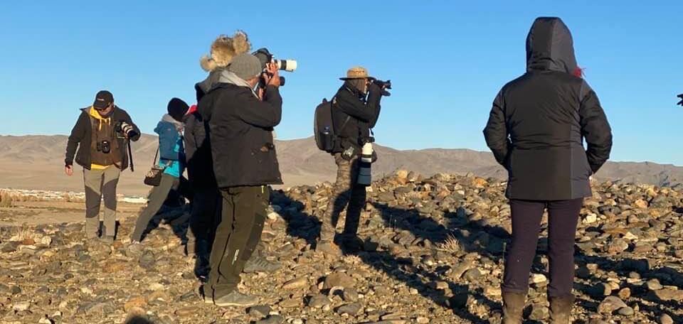
herrings of Altai and Nokhoi, or the pikes. Observation of birds is also possible around the lake, as lots of migratory and nomadic birds are 
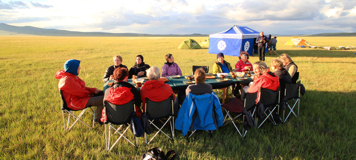
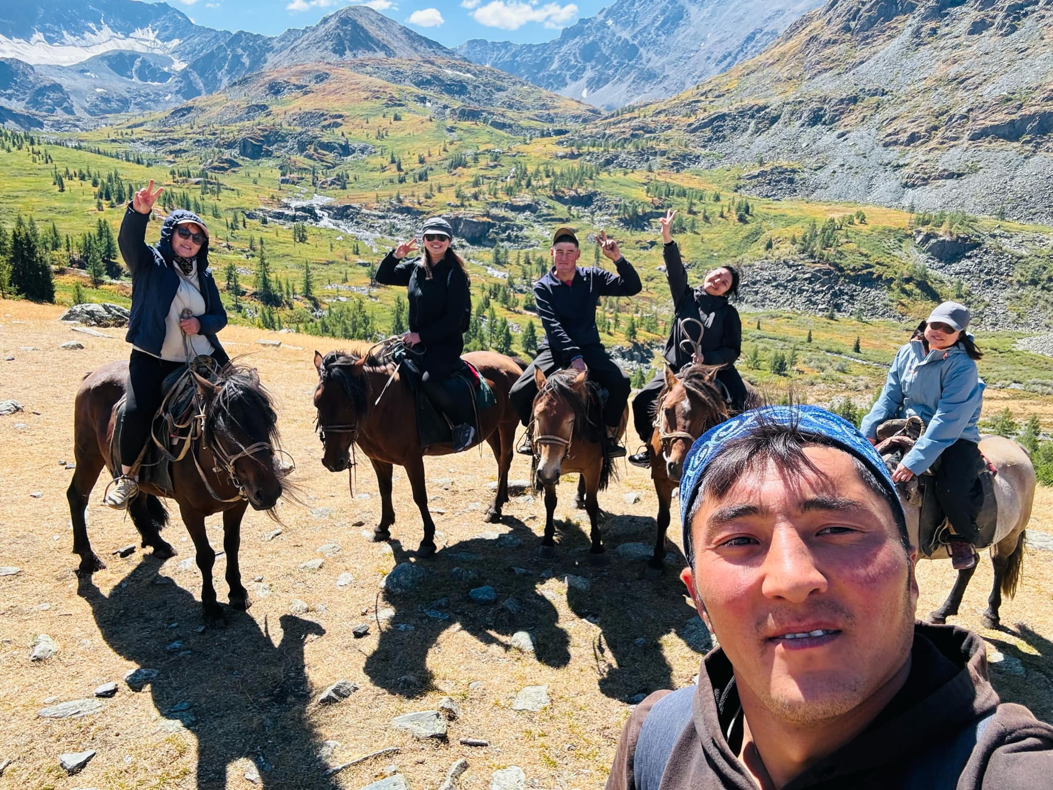
gathering. Of course a true Mongolian experience implies visiting nomadic families, horse and camel riding, and play different games like the ankle bone.

There is a place called Hetsuu Khad on the western shore of Khyargas Lake in Uvs aimag. This natural complex is a relatively short distance of 5-7 km of rocky cliffs, a collection of plants and animals with high cliffs. Khyargas Lake, where the rock is located, is as clear as a water crystal, and the fish and swimmers can be clearly seen inside. There are many interesting things to see, such as the cliffs in the middle of the lake and the birds that build their nests on it. Very rare are black geese, gulls and Altai gulls, Mongolian grayling, otters and fish.

It's a wonderful place with beautiful nature. A.V. Burdukov, a Russian tourist, wrote about this rock: "Hard rock is a strange natural formation and the second most beautiful in Mongolia." “Hetsuu Khad” is a unique protected area with pristine natural beauty.

Day 5 Zavhan aimag/Ulaagshin/ Khar nuur lake


Ulaagchinii Khar Nuur National Park (MongolianУлаагчийн Хар Нуур) is centered on two large freshwater lakes, Bayan Lake to the west, and Ulaagchin Khar Lake 50 km to the east, in west-central Mongolia. The particular 'Khar Lake' of this park is in Zavkhan Province, located in a depression west of the Tarvagatai Mountains. Ulaagchin Khar is surrounded by sand dunes and mountains.

Day 6 Govi Altai aimag/Taishir

Drive to Gobi Altai Aimag Tashir 

Day 7 Bayankhongor aimag


Day 7 <though Delger you will join main road<Baynhongorover night stay in a Camp around

Day 8 Arvaiheer
Day 8 Arvaiheer

 Drive to Ongi Monastery on the open steppes

Day 9 Bayan Zag Khongor Sand Dunes, Camel riding


drive to Khongoryn Els Sand Dunes. The longest accumulation of sand in the Gobi Saikhan National Park with the dunes rising to over 200 m in height and around 7 Km wide. The dunes are known by the locals as the “singing sands” as they make various sounds when the wind blows. Relax or try hiking or sliding in the dunes or even try Camel riding.

Day 10 Yoliin Am Flamming cliffs

Yoliin Am Flamming cliffs

Day 11 Tsagaan Suvarga “ White Stupa”

The rocky formations of Tsagaan Suvarga, ”white stupa”, are located in the Southeast of the sum Ölziit, on the Southern border of the province of Dundgovi. These rocky formations eroded by the wind look like a ruined city if you observe them from a certain distance (85 kilometres, 52,82 miles). They are about 60 metres (196,85 feet) high and 400 metres (1312,34 feet) long.

Southwest Tsagaan Suvarga, another rock called Ulaan Suvarga, the "red stupa", has the same structure.

Day 12 Baga gazriin chuluu

Baga gazariin chuluu rocky formation

The astonishing granitic formations of Baga Gazariin Chuluu, ”stone of the little place”, are located in the northwest of the province of Dundgovi, in the heart of the steppe, 250 km (155,34 miles) towards south of Ulaanbaatar, in the sum of Delgertsogt. At a height of 1751 metres (1,09 mile), they form a granite canyon erected in the heart of the steppe. The erosion polished the rock faces of the cliffs. Some of the lateral entries of the canyon are not very accessible, but most of them permit to enter and to make wonderful hikes in this rocky maze. You may manage to see on the rock the inscriptions written by two venerated monks who lived there in the 19th century.

We can visit on the site the ruins of an old temple dating from the 17th century. We can see there a deep narrow hole. The stagnating rainwater could treat the ocular illnesses. A little ladle has been put on the rock for the people to wash their eyes with the sacred water.

Day 13 Drive to capital city UB

Today drive back to UB capital city

Tour price includes/ Tour price excludes

Tour Price includes

  • 123

Tour price excludes

  • 123